Welcome

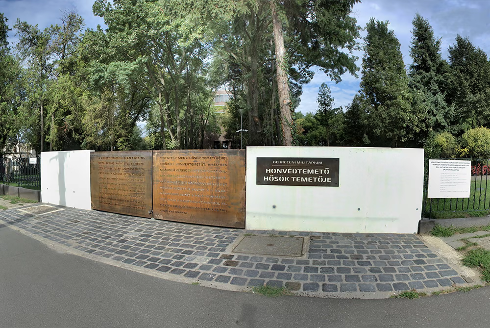
Military Cemetery – Heroes’ Cemetery

website!

Continue
HU | EN | DE

History

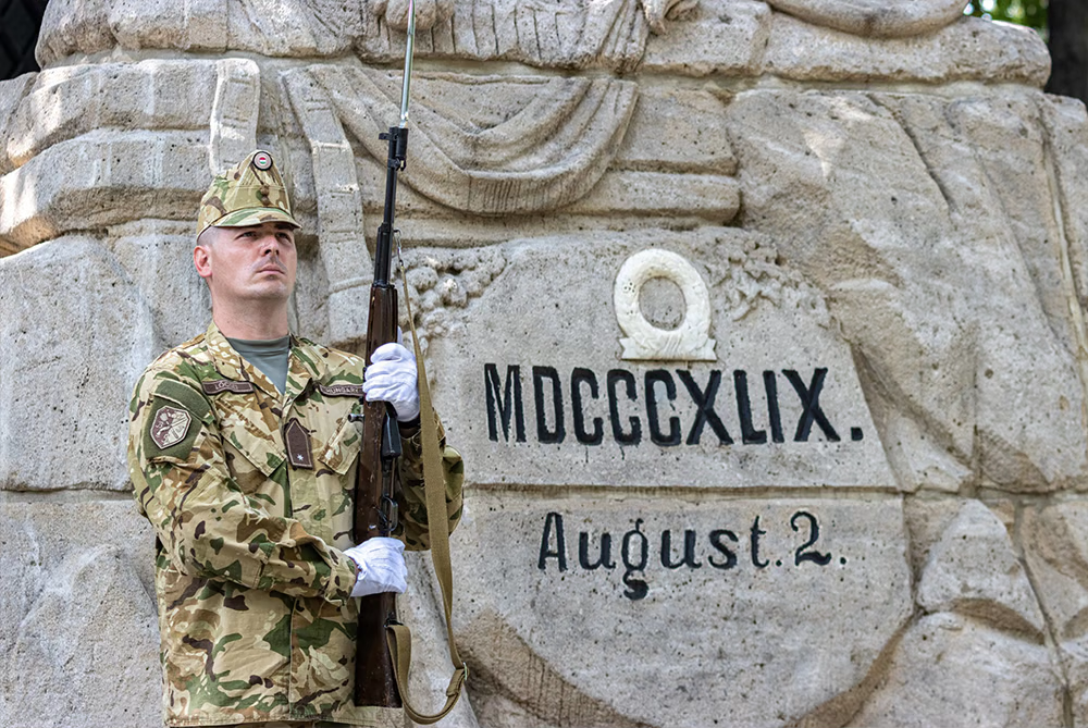
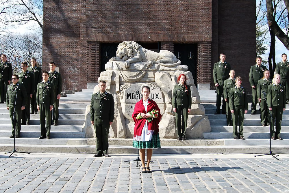
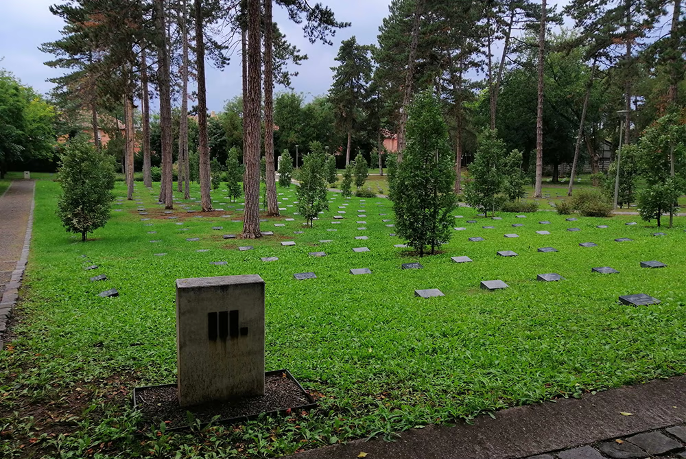
The graveyard has been a cemetery since time immemorial. It was used as a provisional cemetery after the ‘Battle of Debrecen’ on 2nd August 1849, and since that time onwards the local public have known it as the ‘Russian Cemetery’ and the Military Cemetery. From the beginning of the Great War, the soldiers of various nationalities who died in Debrecen hospitals were first buried in the town’s cemeteries belonging to religious denominations. The Military Hospital, enlarged with the Heroes’ Cemetery, was opened on 20th January 1915 to bury the victims.

Aerial View: Balázs Lévai - Compiled by: Csaba Imre Ilyés - Created: 2016 to 2018

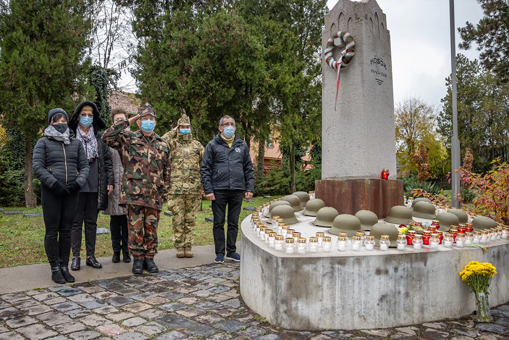
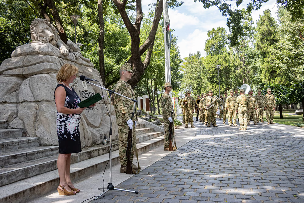
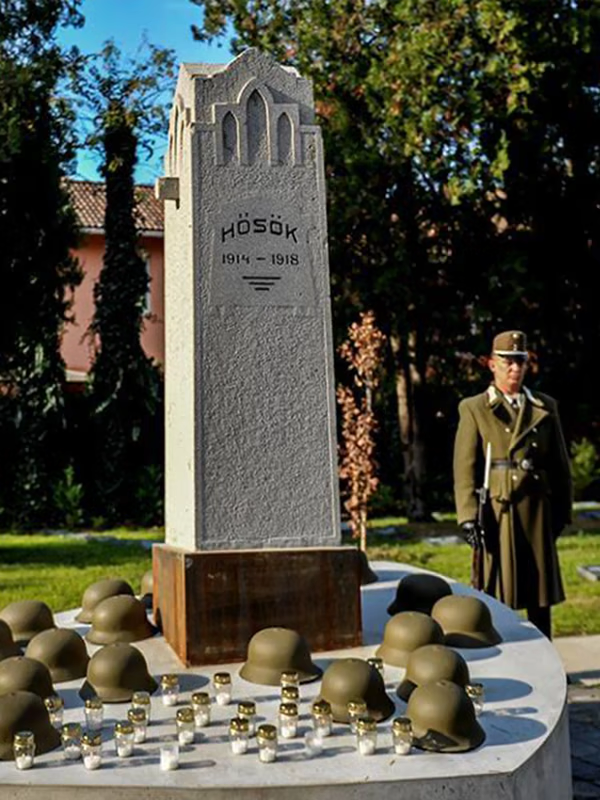
Burials also took place here in 1919 and sporadically even in the interwar period. During WWII, soldiers, primarily German and Hungarian, who died in the local hospitals, and later those who died in POW camps, were interned here. The memorials erected in the cemetery and the Mausoleum, built in a central location, pay tribute to the identified and unknown soldiers who died a hero’s death in the wars of 1848-1849, 1914-1918 and 1939-45 and are laid to rest here.

After several additional internments, conversions and partial reconstruction, the municipality of Debrecen renovated the cemetery in 2017-2018 as part of the Military History Institute and Museum of the Ministry of Defence programme, coordinated by the Őrváros Public Foundation, with the professional and financial support of the Debrecen Militarium in commemoration of the centenary of the Great War.

Continue reading
img

DEVELOPMENTS

The IT history of the Debrecen Military Cemetery and Heroes' Cemetery

The first IT system of the Debrecen Military Cemetery and Heroes' Cemetery was developed by Erda Ltd. in 2012 for the "Quality of Life" Relief, Enlightenment and Prevention Foundation in the framework of the "Resting Heritage of Debrecen" project. During this process, photographs were taken of all the couples. The database of the cemetery was started by Sándor Csákvári with the help of József Papp, a local history researcher, and then the Library of the Bocskai István Rifle Brigade of the Hungarian Defence Forces also joined in the process of systematizing and refining the data with the help of the Internet and other sources that became available. The team was further expanded with the addition of Attila Horváth, a local history researcher, who worked on the data collection of Hungarian and German military graves from World War II. The results of the research Excel spreadsheet and the 10 cm resolution orthophotos of Debrecen in 2009 and 2012 were used to create the cemetery map in a uniform national coordinate system (EOV). cemetery records and records of deceased data from the database. Thus, a number of discrepancies between the database and the placement of the cemetery stones on the map were found, which were clarified in the was clarified in the following years.

The development work continued in 2017 at the Cultural Department of the Mayor's Office of the City of Debrecen. Department of Culture. The first step was to update the previous database with the new research new research results. The above-mentioned web page was also created, and the map search engine for Android was added. version for mobile phones. This can be accessed and loaded from the website. The new website is responsive, i.e. with a resizable DEBRECENI MILITARIUM logo, with content transferred from the previous version, supplemented by the new content, with the professional coordination of the Őrváros Public Foundation.

For the map search, we have loaded the data of the deceased from the two world wars into a single database structure, created digital images of all the re-produced cemetery graves, and assigned to each grave a panoramic image corresponding to the virtual walk, looking at where the grave is located. The result of this work can be viewed in the Map Search menu.

The orthophoto required for the new cemetery map was not taken because the aerial photography was not possible permit expired by the time the cemetery renovation was completed. To replace this, CentralGeo Ltd. used a laser point cloud which was evaluated to produce a digital map of the cemetery with an accuracy of approximately 3-5 cm.

For the virtual walk, we took panoramic photos and uploaded them to Google Maps. The virtual walk was at several points, including entering the gate and you can start the tour right away. Just like clicking on any panorama icon in the map search system.

In the cemetery data researchers, with proper logging of the placement and landscaping plan, to design survey, as well as previous orthophotos, can be called up under the new map. The aerial photographs for the high-resolution orthophoto were obtained the day before the inauguration of the renovated cemetery the day before the cemetery was opened. At the same time, aerial panoramic photos and videos of the cemetery were taken. The orthophoto was then was also completed and uploaded into the system.

The IT history of the Debrecen Military Cemetery and Heroes' Cemetery The first IT system of the Debrecen War Cemetery and Heroes' Cemetery was developed by Erda Ltd. in 2012 for the "Quality of Life" Relief, Enlightenment and Prevention Foundation in the framework of the "Debrecen's Tranquil Heritage" project. During this project, photographs were taken of all couples. The database of the cemetery was started by Sándor Csákvári with the help of József Papp, a local history researcher, and then the Bocskai István Rifle Brigade Library of the Hungarian Defence Forces was involved in the data organisation and clarification with the help of the internet and other sources that became available. The team was further expanded with the addition of Attila Horváth, a local history researcher who worked on the collection of data on Hungarian and German war graves from World War II. Based on the results of the Excel spreadsheet and the 10 cm resolution orthophotos of Debrecen from 2009 and 2012, the cemetery map was created in the Unified National Coordinate System (EOV). Thus, a number of discrepancies were found between the database and the placement of cemetery stones on the map, which were clarified in the following years.

Translated by DeepL.

Web publishing is continuously ensured from the server of ERDA Ltd.

Links

Hungarian-language search service sites

International search pages

Other useful pages